Helicopter Aerial Surveying

Delivering clarity and precision through modern aerial surveying methods

Fair Lifts Helicopter Services

Helicopter Aerial Surveying

air Lifts Helicopter Cargo Services

Delivering clarity and precision through modern aerial surveying methods

Click Here to Call Now!


Precision Data Collection Through Helicopter Aerial Surveys

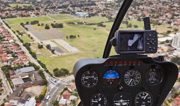
Helicopter aerial surveying is a precise and efficient method for collecting geomatic data. This involves the measurement, analysis, and mapping of the Earth’s surface. While aerial surveys can be completed using airplanes or balloons, helicopters offer unique advantages in flexibility, maneuverability, and quick deployment. A helicopter survey often includes aerial photography, remote sensing across both visible and non-visible electromagnetic bands, and the collection of geophysical data. This information is essential for industries involved in mineral exploration, vegetation and environmental monitoring, geophysical research, and transportation projects such as roadway and highway construction.

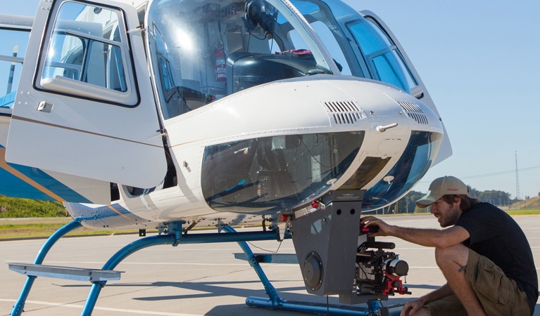
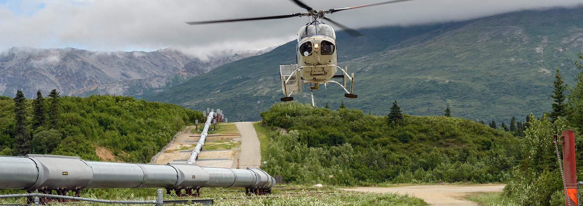
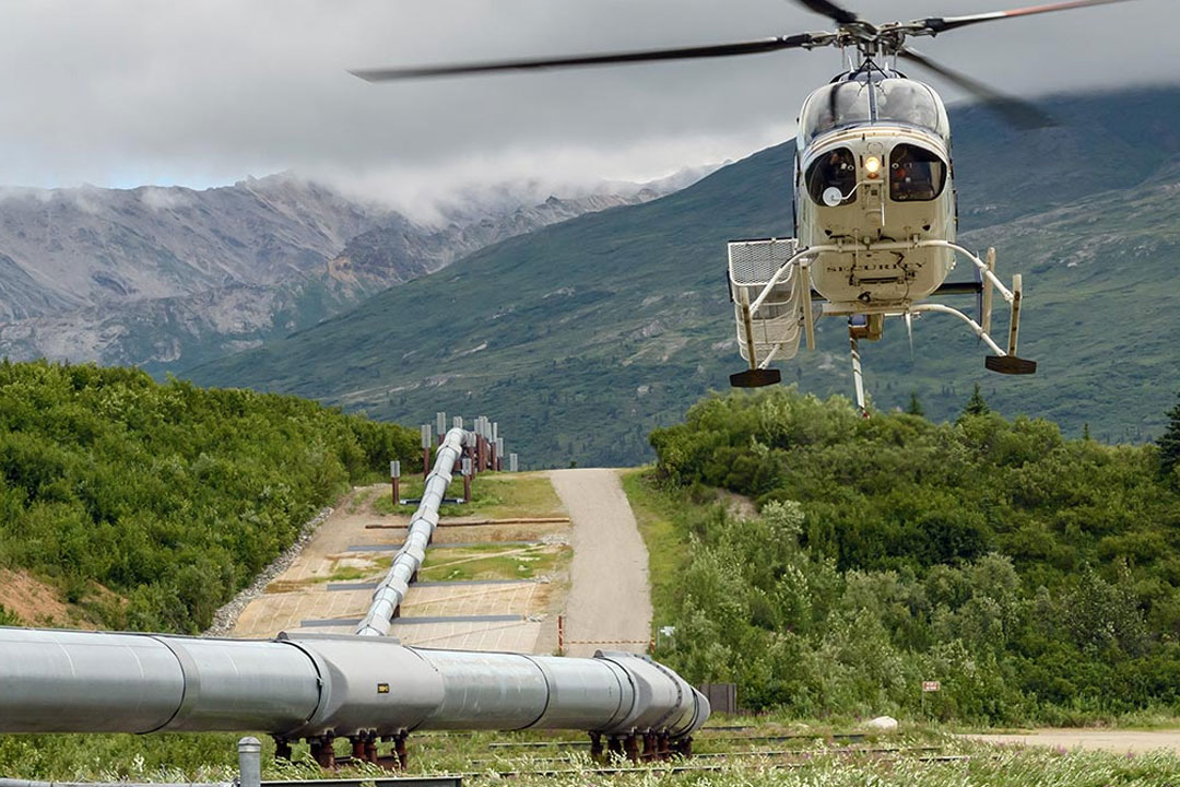
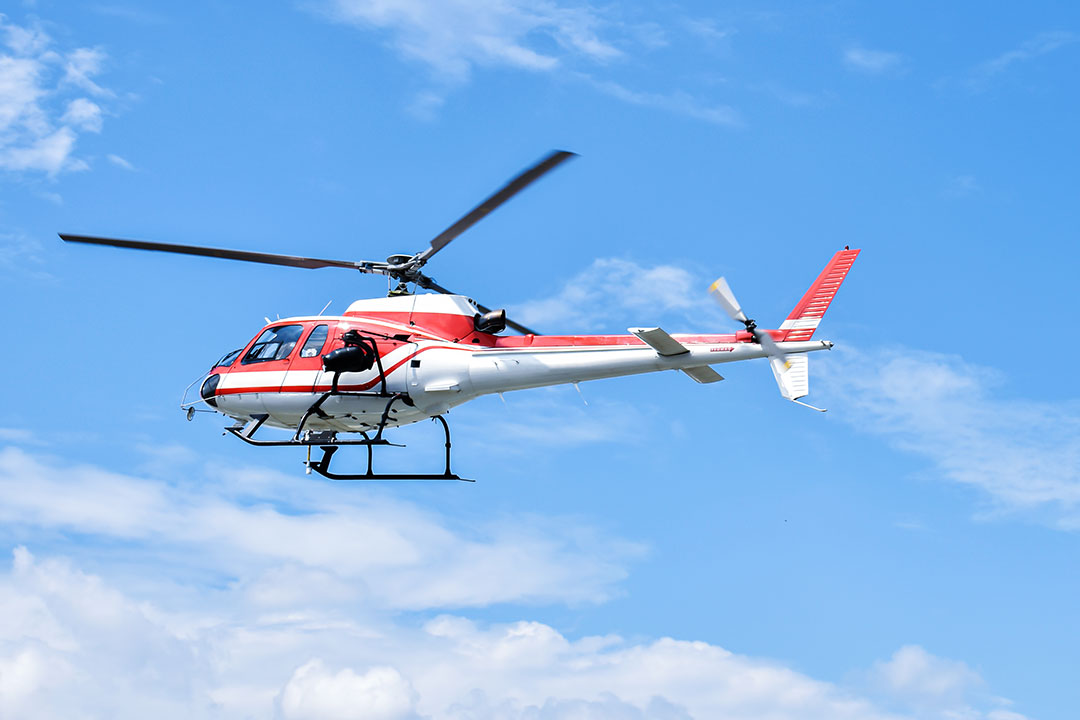
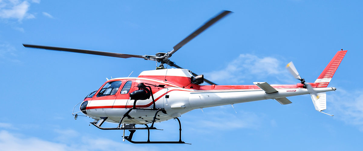
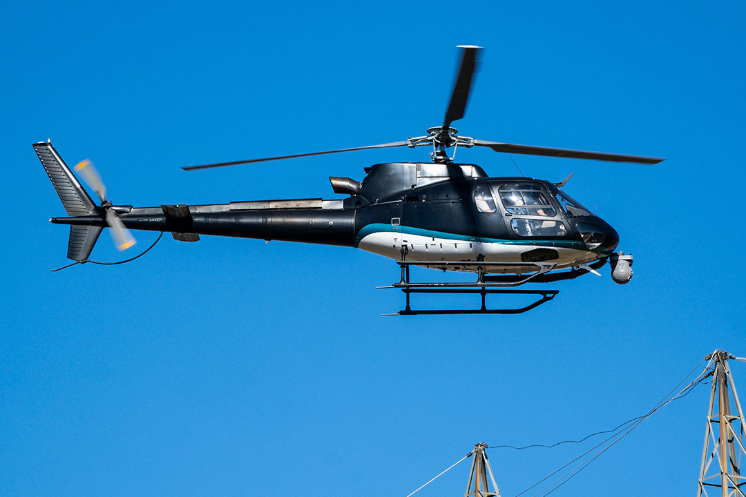
During these operations, helicopters are fitted with external sensors that collect detailed spatial and environmental data.

At Fair Lifts, our aerial surveying services assist mapping firms and engineering teams by transporting advanced data-gathering systems safely and efficiently. Our experienced pilots are trained for low-altitude operations that ensure accurate mapping of targeted areas and terrain. Helicopter aerial surveys also provide an effective way to assess potential land acquisitions, evaluate agricultural opportunities, and gain a clear understanding of surrounding properties for real estate and corporate development.

Click Here to Call Now!


HELICOPTER SURVEYS AND AERIAL MAPPING FOR EVERY INDUSTRY

Helicopter Surveys and Aerial Mapping for Every Industry

Fair Lifts provides professional aerial surveying and mapping services that support a wide range of industries. Our helicopter operations are trusted for their flexibility, accuracy, and ability to capture detailed data across large or complex areas. From environmental studies to real estate development, our team ensures every project is handled efficiently and with precision.

We recognize that timely, accurate data is critical for decision-making. That is why our booking process is straightforward and responsive. Provide a few key project details, and our agents will coordinate the ideal solution. This includes selecting the right helicopter and ensuring your data is processed and delivered on schedule. Every mission is supported by experienced pilots and operators who meet our strict performance and safety standards.
CONSTRUCTION

Construction

In the construction industry, precision mapping is essential for site planning and development. Fair Lifts assists engineers and contractors by providing aerial views and detailed mapping of project sites before construction begins. Helicopter surveys help verify boundary markers, align coordinate systems, and identify potential challenges early in the process. This proactive approach can significantly reduce costs and prevent delays.
AGRICULTURE

Agriculture

Modern agriculture depends on accurate and up-to-date land assessments. Fair Lifts provides helicopter-based surveys that streamline field mapping, boundary verification, and crop monitoring. Our thermal imaging technology supports efficient analysis of irrigation systems, soil conditions, and vegetation health. These services help farmers and agricultural consultants make informed decisions faster while reducing manual surveying time.
GEOGRAPHY

Geography

Fair Lifts collaborates with researchers, universities, and environmental organizations to conduct surveys that monitor ecosystems and assess land changes. Our helicopters are equipped with advanced GPS, onboard computing systems, and thermal imaging sensors that enable real-time data collection and video capture. These tools are valuable for studying terrain shifts, vegetation recovery, and post-fire analysis. All collected data can be securely stored or shared through cloud-based platforms for ongoing research.
REAL ESTATE

Real Estate

For real estate professionals, helicopter surveys offer a powerful perspective. Fair Lifts provides tailored aerial assessments that showcase properties, evaluate development sites, and document large tracts of land in a single flight. Clients can view multiple properties efficiently, with flexible helicopter options to fit any project size. These surveys provide valuable visual insights while saving both time and resources.
Start your Aerial Surveying project today!

Call Fair Lifts at 1-800-318-8940 to schedule your flight!


Benefits of Helicopter Surveying

Benefits of Helicopter Surveying

Helicopter aerial surveying has become an essential tool across multiple industries, including agriculture, real estate, environmental research, and construction. It offers a fast, efficient, and highly accurate alternative to traditional ground surveying. Where ground-based methods can be time-consuming and costly, helicopter surveys allow large areas to be mapped quickly and with exceptional precision.

At Fair Lifts, we provide dependable aerial surveying solutions designed to meet the unique requirements of each client. Our operations combine advanced technology, experienced pilots, and efficient workflows to deliver reliable results on schedule and within budget.
Cost Efficiency

Cost Efficiency

Helicopter aerial surveying offers substantial cost savings compared to ground-based or fixed-wing aircraft methods. With lower overhead expenses and minimal setup requirements, projects can be completed faster and at a fraction of the cost. Because helicopters can capture expansive data sets in a single flight, clients benefit from reduced field time and fewer repeat operations. Fair Lifts continues to be a trusted choice for businesses seeking accurate and cost-effective aerial survey solutions.
Speed & Productivity

Speed & Productivity

Time-sensitive industries rely on the ability to capture and process data quickly. Fair Lifts uses carefully planned flight paths and experienced pilots to cover large regions within hours instead of days. This streamlined approach shortens the timeline from planning to final data delivery, ensuring clients receive the information they need to move forward without delay.
Accuracy & Data Quality

Accuracy & Data Quality

Modern aerial surveying technology allows helicopters to capture high-resolution imagery and video in 4K or higher. Precision stabilization systems and advanced sensors ensure image clarity even under challenging weather conditions. The combination of aerial vantage points and modern imaging equipment provides superior detail compared to ground surveys. Fair Lifts places accuracy at the core of every project, delivering data that supports confident decision-making.
Accessibility & Flexibility

Accessibility & Flexibility

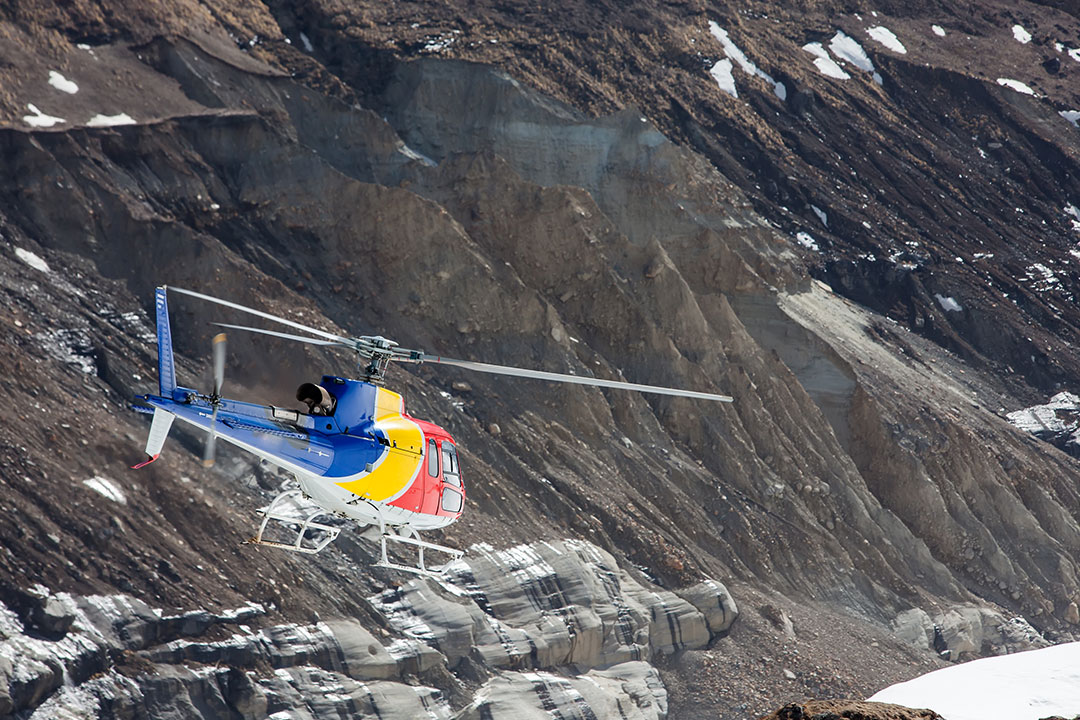
Helicopters can reach locations that are difficult or impossible to access by ground. This includes mountainous terrain, remote construction sites, rooftops, towers, and wind turbines. Fair Lifts pilots use pre-planned flight paths and specialized optical systems to conduct safe and thorough inspections from above. The ability to navigate challenging environments makes helicopter surveying an ideal choice for projects that require complete coverage and dependable results.


Get a Free, No-Obligation Quote Now!
Call 1-800-318-8940 today!


GAIN ACCESS TO ACCURATE AND RELIABLE AERIAL MAPPING SERVICES

Gain Access to Accurate and Reliable Aerial Mapping Services

Across every industry, helicopter aerial surveying offers a faster and more precise way to collect essential data. Fair Lifts provides dependable helicopter support that helps clients achieve accurate, cost-effective, and timely mapping results.

Our team is ready to guide you through a simple booking process. Share your project details, and our representatives will match you with the right helicopter and equipment for your aerial survey needs. With Fair Lifts, you can count on a professional experience from start to finish.

Call Fair Lifts at 1-800-318-8940 to schedule your flight!

Request your aerial survey Quote now!