Precision Data Collection Through Helicopter Aerial Surveys
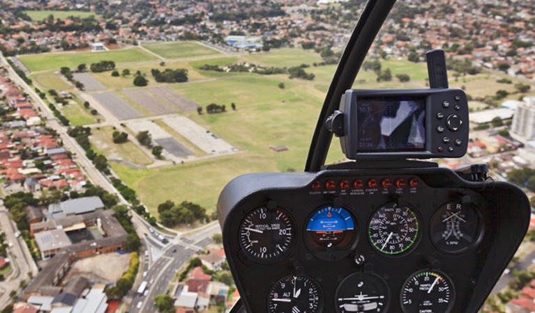
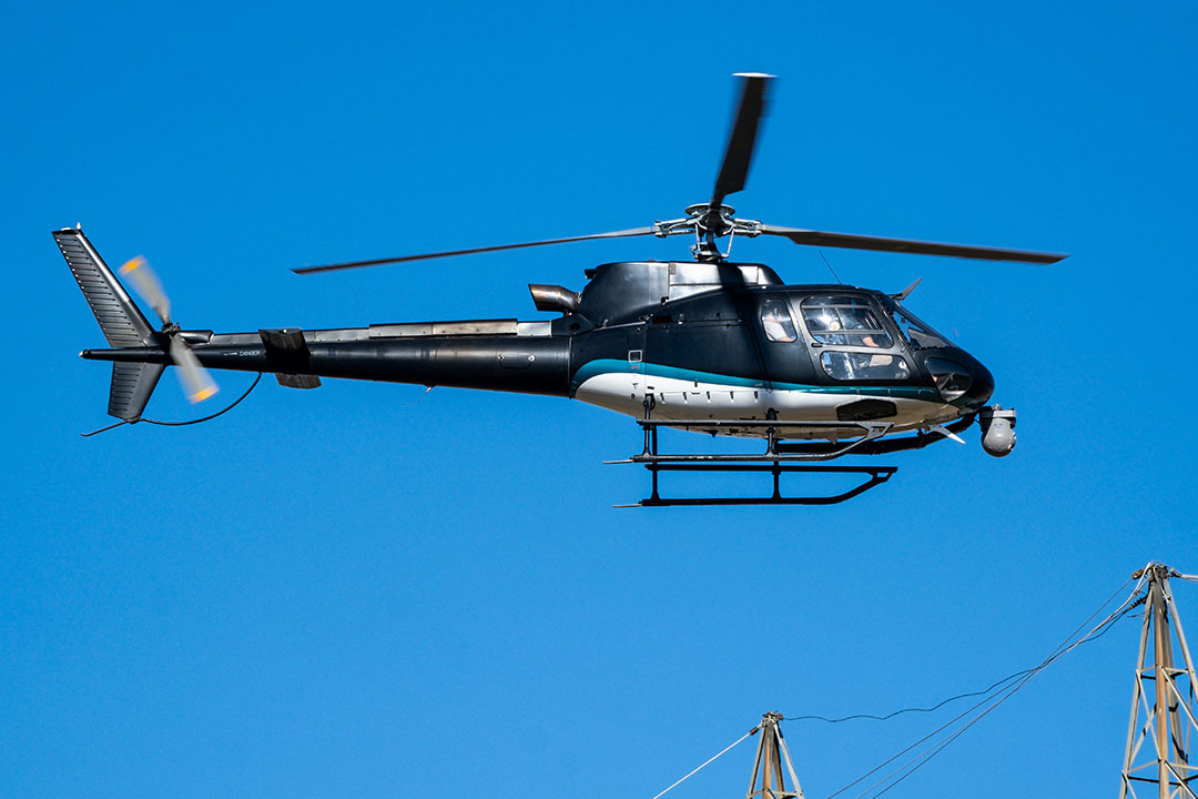
Helicopter aerial surveying is a precise and efficient method for collecting geomatic data. This involves the measurement, analysis, and mapping of the Earth’s surface. While aerial surveys can be completed using airplanes or balloons, helicopters offer unique advantages in flexibility, maneuverability, and quick deployment. A helicopter survey often includes aerial photography, remote sensing across both visible and non-visible electromagnetic bands, and the collection of geophysical data. This information is essential for industries involved in mineral exploration, vegetation and environmental monitoring, geophysical research, and transportation projects such as roadway and highway construction.
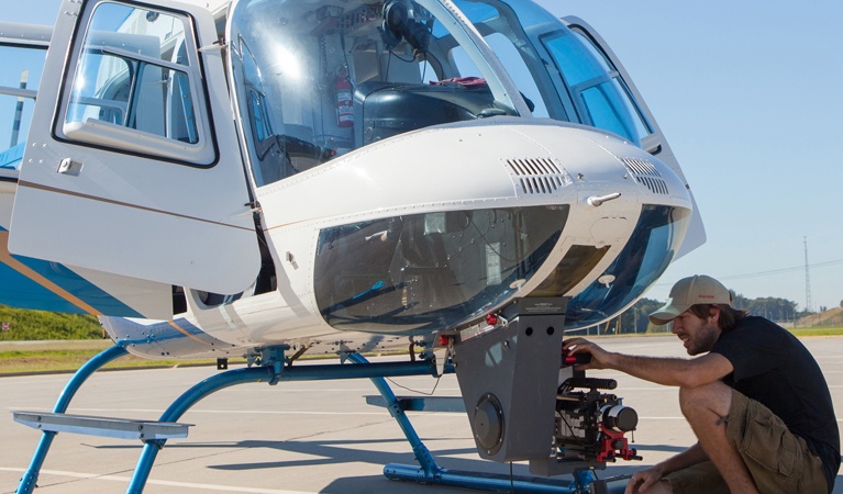
During these operations, helicopters are fitted with external sensors that collect detailed spatial and environmental data.
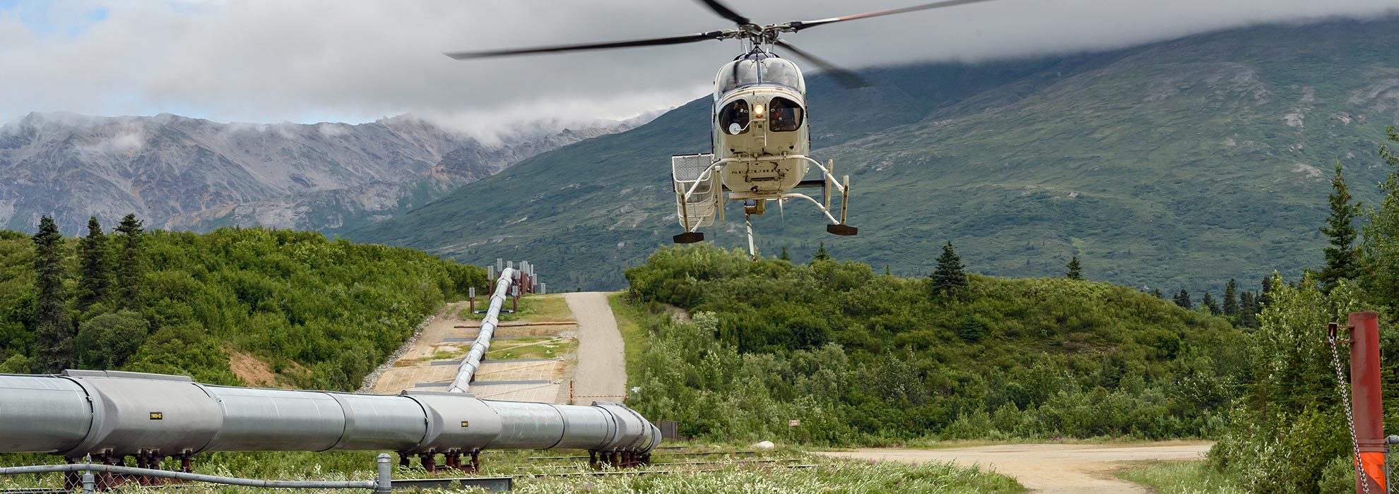
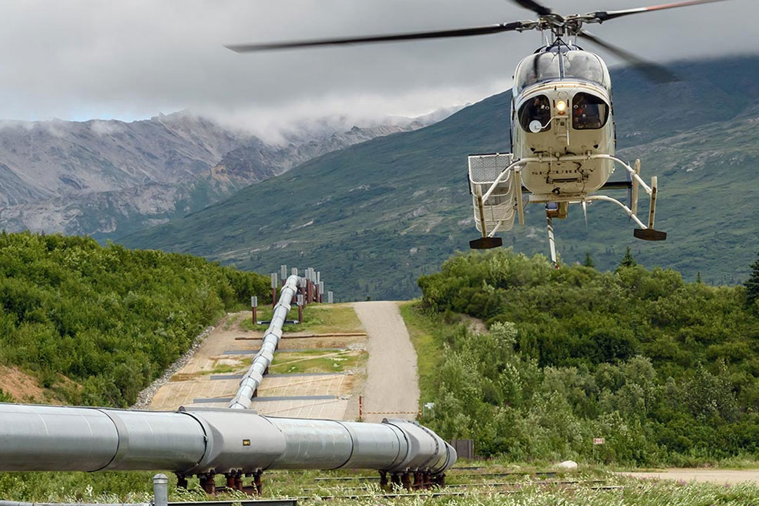
At Fair Lifts, our aerial surveying services assist mapping firms and engineering teams by transporting advanced data-gathering systems safely and efficiently. Our experienced pilots are trained for low-altitude operations that ensure accurate mapping of targeted areas and terrain. Helicopter aerial surveys also provide an effective way to assess potential land acquisitions, evaluate agricultural opportunities, and gain a clear understanding of surrounding properties for real estate and corporate development.

Helicopter Surveys and Aerial Mapping for Every Industry

Construction

Agriculture

Geography
Real Estate
Benefits of Helicopter Surveying
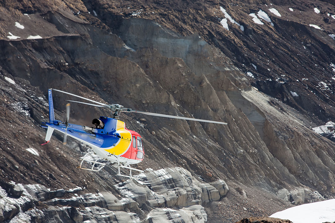
Helicopter aerial surveying has become an essential tool across multiple industries, including agriculture, real estate, environmental research, and construction. It offers a fast, efficient, and highly accurate alternative to traditional ground surveying. Where ground-based methods can be time-consuming and costly, helicopter surveys allow large areas to be mapped quickly and with exceptional precision.
At Fair Lifts, we provide dependable aerial surveying solutions designed to meet the unique requirements of each client. Our operations combine advanced technology, experienced pilots, and efficient workflows to deliver reliable results on schedule and within budget.
Cost Efficiency

Speed & Productivity

Accuracy & Data Quality
Accessibility & Flexibility
Gain Access to Accurate and Reliable Aerial Mapping Services
Across every industry, helicopter aerial surveying offers a faster and more precise way to collect essential data. Fair Lifts provides dependable helicopter support that helps clients achieve accurate, cost-effective, and timely mapping results.
Our team is ready to guide you through a simple booking process. Share your project details, and our representatives will match you with the right helicopter and equipment for your aerial survey needs. With Fair Lifts, you can count on a professional experience from start to finish.
Call Fair Lifts at 1-800-318-8940 to schedule your flight!