Streamlined Aerial Solutions for Complex Environmental Studies
Accurate data is the foundation of effective wildlife research and conservation. Fair Lifts provides dependable helicopter-based wildlife survey services that help scientists, conservationists, and environmental organizations gather essential insights safely and efficiently.
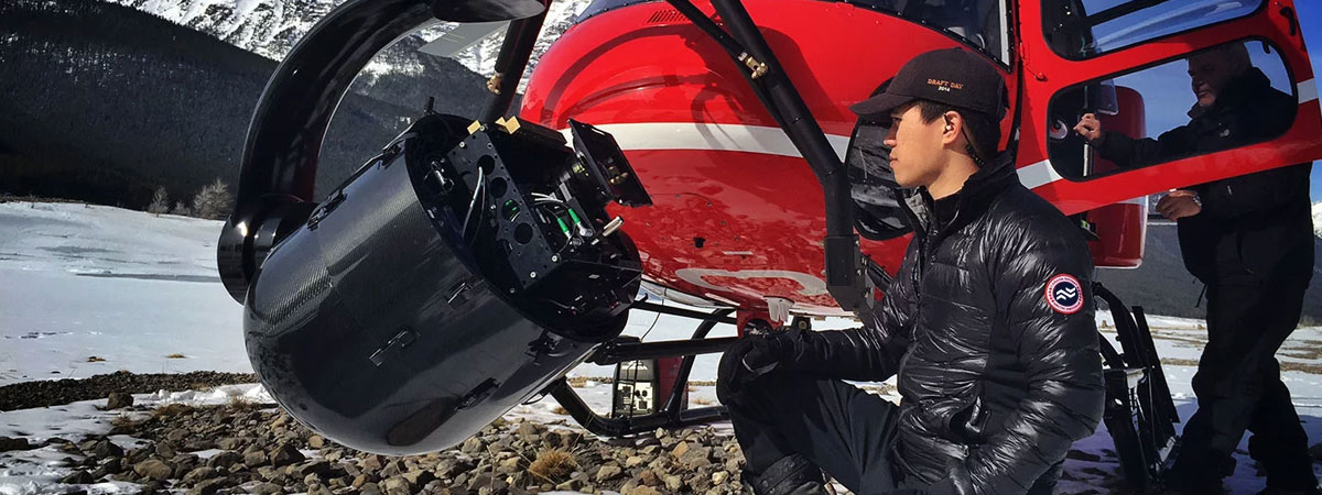
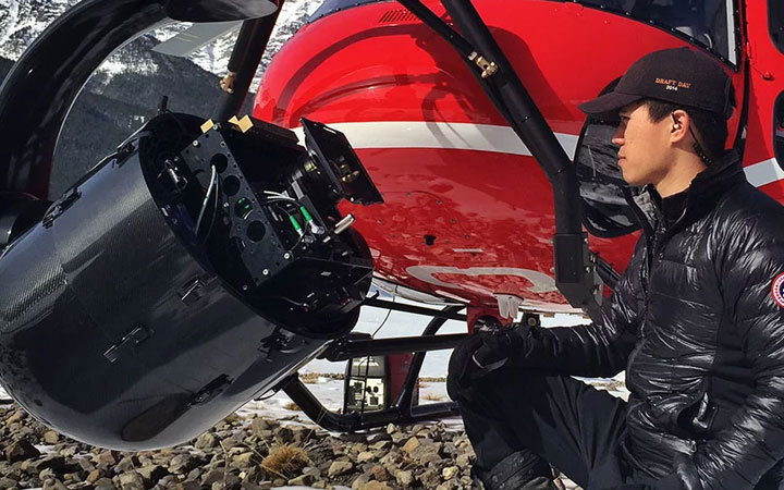
Our experienced pilots and trained survey teams use advanced aerial technology to capture precise observations of animal populations, habitat conditions, and migration patterns. Every operation is designed to minimize environmental disturbance while ensuring the accuracy and consistency of collected data.
From large-scale habitat assessments to focused species tracking, Fair Lifts supports research initiatives across North America with professional expertise and reliable coordination. Our aerial surveys give you the clarity needed to make informed decisions, support conservation planning, and strengthen ecological understanding.
Contact Fair Lifts at 1-800-318-8940 to request a customized quote and discover how our helicopter wildlife survey services can enhance your research and conservation goals.
The Advantages of Helicopter-Assisted Wildlife Surveys
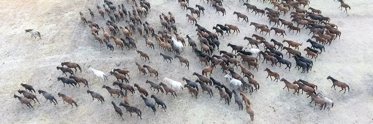
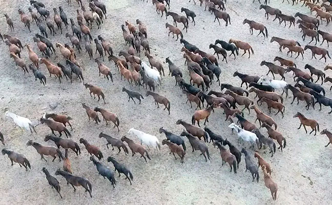
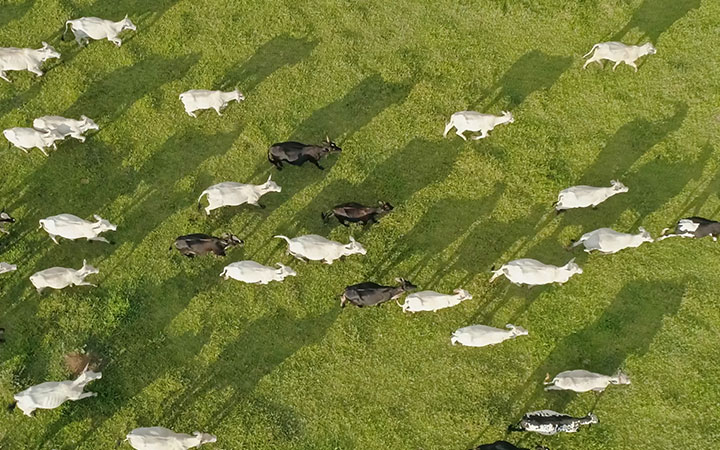
Wildlife surveys are essential for understanding population health, movement, and habitat use. This information guides conservation strategies, research initiatives, and land management decisions. While ground-based surveys remain valuable, they can be time-consuming and limited by terrain. Helicopter-assisted surveys provide an efficient and accurate alternative, allowing researchers to observe wildlife across vast or remote areas with minimal disturbance.
Fair Lifts supports scientists, conservationists, and private landowners with professional aerial survey services designed to collect dependable data quickly and safely. The following are key advantages of using helicopter-assisted wildlife surveys for research and conservation efforts.
• Efficiency and Speed
Helicopters can cover large survey areas in a fraction of the time required for ground operations. They allow for multiple passes in a single flight, helping researchers collect a significant volume of data within hours instead of days. This efficiency leads to faster analysis, timely decision-making, and improved outcomes for conservation and management programs.
• Accuracy and Precision
Aerial surveys provide a unique vantage point for observing and recording animal populations. Helicopters can operate at varying altitudes and speeds, enabling high-resolution imaging and detailed visual observation. This capability makes it easier to identify species, note behavioral patterns, and document habitat conditions with exceptional accuracy.
• Minimal Disturbance
Reducing human impact on wildlife is a top priority for any responsible survey. Helicopters can maintain higher flight altitudes, minimizing noise and disruption to the animals being studied. This approach ensures that natural behaviors remain undisturbed, resulting in data that more accurately reflects real-world conditions.
• Accessibility
Helicopters provide access to remote or difficult terrain, including mountain ranges, wetlands, dense forests, and coastal regions. This expanded reach allows researchers to gather data from habitats that may otherwise remain unobserved. The result is a more complete understanding of wildlife distribution and environmental health.
• Versatility
Every research project is unique. Fair Lifts offers tailored helicopter survey solutions to meet the specific goals of scientists, conservation groups, and private landowners. Whether the objective is to track migration patterns, assess conservation progress, or evaluate habitat changes, helicopter-assisted surveys deliver the flexibility and precision required for meaningful results.
Helicopter-assisted wildlife surveys have become an essential tool in modern conservation. Their efficiency, accuracy, and accessibility make them ideal for studying and protecting wildlife across diverse environments. Fair Lifts remains committed to supporting these efforts by providing safe, reliable, and expertly managed aerial survey services that help advance research and preservation across North America.
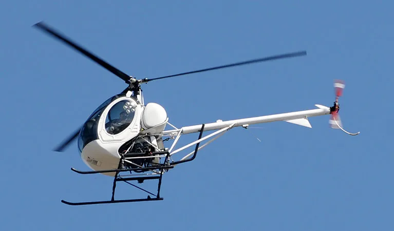
Trusted Aircraft for Aerial Wildlife Surveying
Additional Fleet Options

Bell 206L-4 LongRanger IV
Powered by a Rolls-Royce 250-C30P engine, this model cruises at 113 knots and offers a range of 325 nautical miles. Its endurance and versatility make it well-suited for broad survey coverage.
Schweizer 269C / 300
A simple, efficient design with low operating costs, making it a reliable option for smaller-scale or budget-conscious projects.

Leonardo AW119 Koala
Offers a spacious cabin and large observation windows, along with advanced avionics and excellent flight stability for detailed visual surveys.
Advancing Research and Habitat Protection from the Air
Helicopter-assisted wildlife surveys provide an essential advantage for researchers, conservationists, and land managers who rely on accurate and timely data. Fair Lifts delivers dependable aerial solutions designed to support meaningful research and sustainable environmental management.
Our network of skilled pilots and survey specialists uses proven technology to collect high-quality data with minimal disturbance to wildlife and habitats. Every mission is carefully planned to meet your project goals, whether you are tracking migration patterns, assessing habitats, or monitoring species populations.
By choosing Fair Lifts, you gain a partner committed to precision, efficiency, and environmental responsibility. We work closely with each client to design customized aerial survey solutions that fit specific research needs and budget requirements.
Call Fair Lifts at 1-800-318-8940 to speak with a representative about your wildlife survey project. Our team will provide a detailed quote, answer your questions, and help you develop a plan that ensures reliable, high-quality results.
Recent Helicopter news and Articles
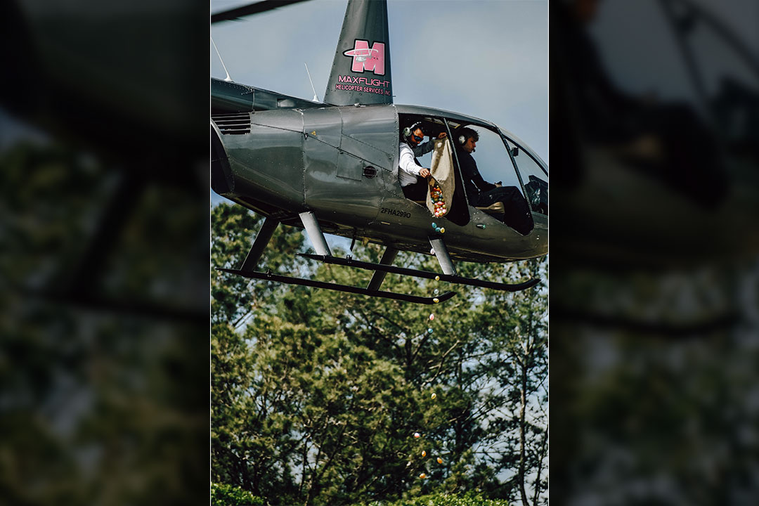
How Fair Lifts Powered a Helicopter Egg Drop for Tree City Church’s Easter Sunday Celebration in Gainesville, FL
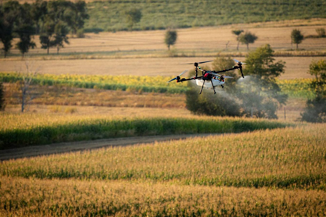
Wet Spraying vs. Dry Spreading: Which Ag Drone Application Method Is Right for Your Crop?
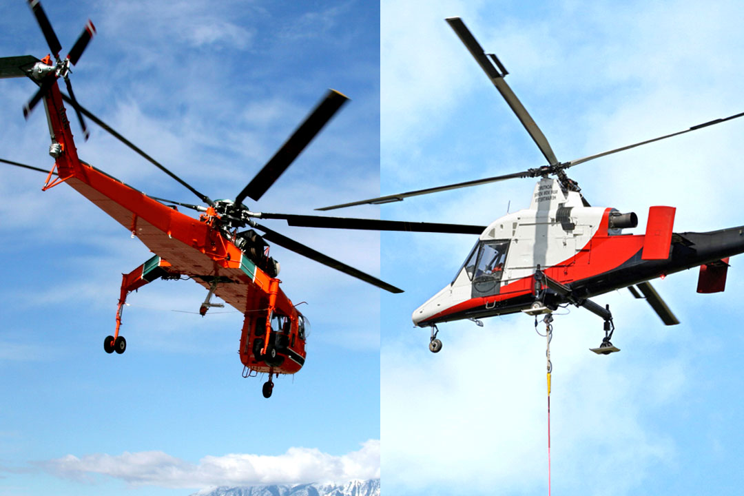
Sikorsky S-64 Skycrane vs K-MAX: Heavy Lift vs Precision Long-Line Performance
The Best Helicopters for Aerial Surveys in 2026