Intelligent planning in Alaska with aerial support
The best planning only comes with great attention to detail and gathering all relevant information. Aerial surveying and mapping is the easiest, fastest, most effective way to do it, especially in Alaska’s rugged and remote terrain.
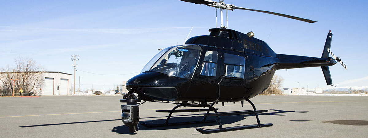
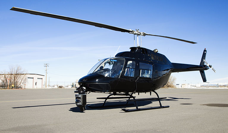
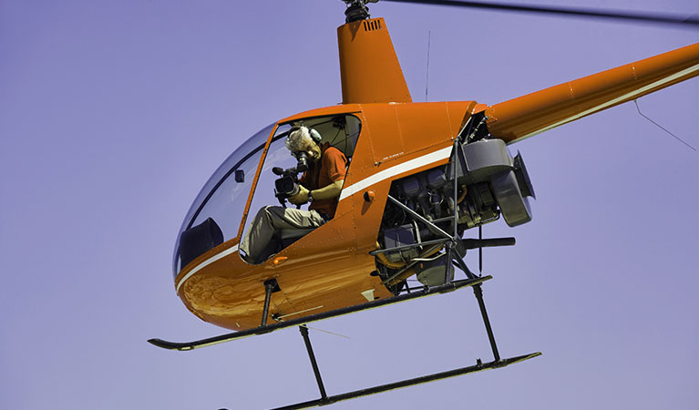
Get all the data needed to make intelligent decisions on anything from highway/railway construction to mining operations, major building projects, or environmental impacts of changing glacial and ice pack conditions. Helicopters can utilize all the latest technologies, such as LiDAR, and can always access places ground crews cannot.
Helicopter support ideally suited for Alaska
With more than 570,000 square miles of often rugged, inaccessible terrain, Alaska is perfectly suited for the power and versatility of helicopter mapping and survey support. Whether it’s Kodiak Island, the vast coastline, the mountainous and remote interior, or even in the city streets of Anchorage or Juneau, helicopter mapping and surveying gives government and industrial planners an informational gold mine.
Aerial support can deliver LiDAR scans, spectral and geomagnetic images that in conjunction with high-tech mapping software can build unparalleled geographical information systems, allowing planners to see land not only in 3D, but also in layers from tree canopy to ground and beneath. Armed with that kind of information, planners can best determine the routes for roads or railways, determine optimum spots for mine exploration, assess changing river patterns that might impact the fishing or eco-tourism industries, monitor glacial melt and more.
High tech and high flying produces unmatched results
Building a detailed geographical information system (GIS) for any piece of land is vital for proper planning for any industrial pursuit. A GIS takes multiple scans and images and puts them into a model, allowing planners to view pieces of land by layers, much like a birthday cake. See the foliage and tree canopies with one layer, peel back to see the topography or mineral deposits on another layer, groundwater with another and so on.
Helping to build those layers are LiDAR, or (Light Detection and Ranging) laser scans. LiDAR essentially draws a picture of the land surface (scanning through foliage and ground cover, if desired) to reveal the true picture of the ground, its undulations, etc.
Combined with 3D photogrammetry imaging, spectral scans and geophysical data, planners can get a picture-perfect view of any slice of land in Alaska.
Limitless Aerial Services
Utilizing aerial support anywhere in Alaska is beneficial on many levels, mainly due to the sparsity of transportation infrastructure. Aerial mapping and surveying support can be beneficial for many Alaskan industries from mining to transportation, forestry and more.

Transmission Line and Utility Corridors
In Alaska there’s a lot of ground to cover for transmission and power line construction, inspections and maintenance. While ground crews can easily accomplish some of the work, helicopter support is priceless, performing hauling, vegetation control, repairs, wire-stringing, tower erection and more.

High Detail City Mapping
Aerial support and high-tech scanning and imaging delivers information-intensive city databases for officials to plan roadways, see traffic flows, water and electrical grids, sewer systems and more. Having all the information at one’s fingertips makes both decision-making easier and many municipal projects less costly and disruptive.

Highway, railway and optimal route studies
Having detailed GIS information is invaluable when planning the best, least disruptive, most cost-beneficial routes for roads or railways. Aerial mapping solutions delivers topographical scans, 3D images, geophysical data and more to ensure planners go into projects knowing all the facts.

Emergency Response and Damage Assessment
Helicopters may be the ultimate disaster response, search and rescue and storm damage assessment tool in Alaska. Able to fly out over open water, travel anywhere regardless of roads or road conditions, bring personnel, supplies, imaging equipment and more, helicopters shine during tough times.

Mining and Exploration Services
Mining has historically been a bedrock of industrial pursuits in Alaska. Today, helicopter support can greatly assist mining operations. Geophysical and LiDAR scans can help explore new mining possibilities, and helicopters can greatly boost efficiency in both current operations and mine rehabilitation efforts.
We’ll help put aerial solutions on your side
Put a vast network of experienced helicopter operators to work for your aerial mapping and surveying job. Agents will find the right helicopter - and all the hardware - needed for your specific job. We’re available 24/7 for queries, free quotes or reservation services.
We work hard to provide helicopter solutions for real estate, film production, and other companies near all of these Alaska municipalities:
Anchorage, AK - Bethel, AK - Chevak, AK - Fairbanks, AK - Homer, AK - Juneau, AK - Kenai, AK - Ketchikan, AK - Knik-Fairview, AK - Kodiak, AK - Lakes, AK - Meadow Lakes, AK - North Pole, AK - Palmer, AK - Scammon Bay, AK - Seward, AK - Sitka, AK - Soldotna, AK - Tanaina, AK - Wasilla, AK