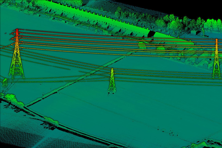
LIDAR-or light, detection, and ranging-is a method of surveying terrain. When you use a helicopter for surveying terrain, you get an aerial mapped view that can prove useful for pipeline surveys for the gas and oil industry. It uses lasers to create a 3-D representation of the area being surveyed. This technology can be used for a variety of other …