Discover top helicopters for 2025 aerial surveys, prioritizing efficiency, advanced tech, and unmatched reliability.

Discover top helicopters for 2025 aerial surveys, prioritizing efficiency, advanced tech, and unmatched reliability.
Wingtra and Trimble team up to revolutionize drone surveying, enhancing precision and efficiency in data collection workflows.
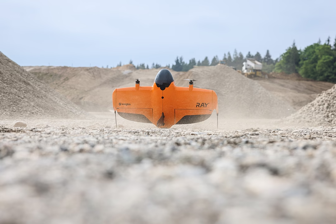
“Experience unparalleled precision and speed in aerial surveys with Wingtra RAY, setting new standards in data collection.”

Revolutionize your surveys with WingtraOne Gen II and RedEdge-P, capturing detailed multispectral data effortlessly.

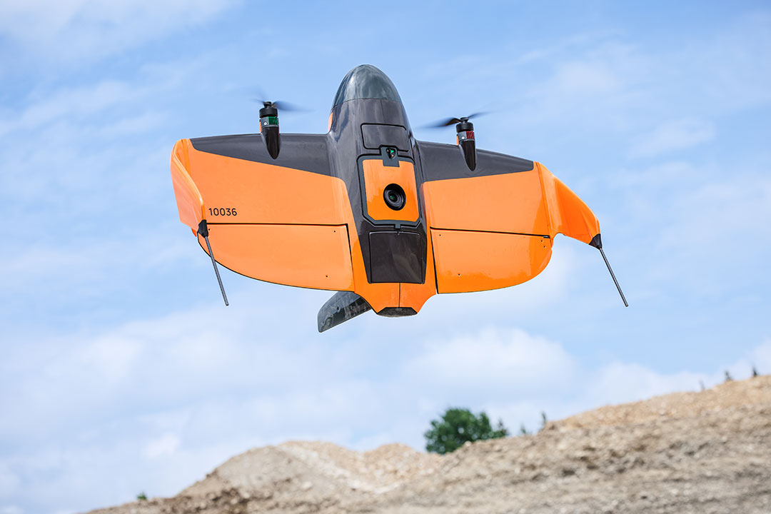
The WingtraOne Gen II revolutionizes aerial surveys with advanced LIDAR and multispectral imaging, enhancing precision and efficiency.
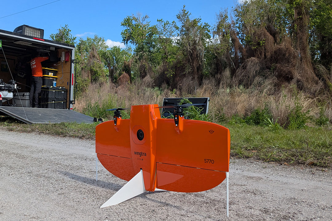
Drones survey Indian Hammock, FL, assessing lygodium control success, ensuring ecosystem balance and health restoration.

“Explore key factors in selecting a helicopter that matches your specific needs, from size to functionality.”

Drones in Dooly County, GA, are transforming agriculture with precise crop management and efficient resource use.

Helicopters boost safety and efficiency in transmission line construction by providing precise aerial support and rapid access.

From wildlife surveys to emergency response, environmental helicopter services offer versatile solutions for diverse ecological needs.