Wingtra and Trimble team up to revolutionize drone surveying, enhancing precision and efficiency in data collection workflows.
Wingtra and Trimble team up to revolutionize drone surveying, enhancing precision and efficiency in data collection workflows.
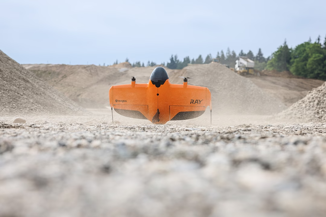
“Experience unparalleled precision and speed in aerial surveys with Wingtra RAY, setting new standards in data collection.”

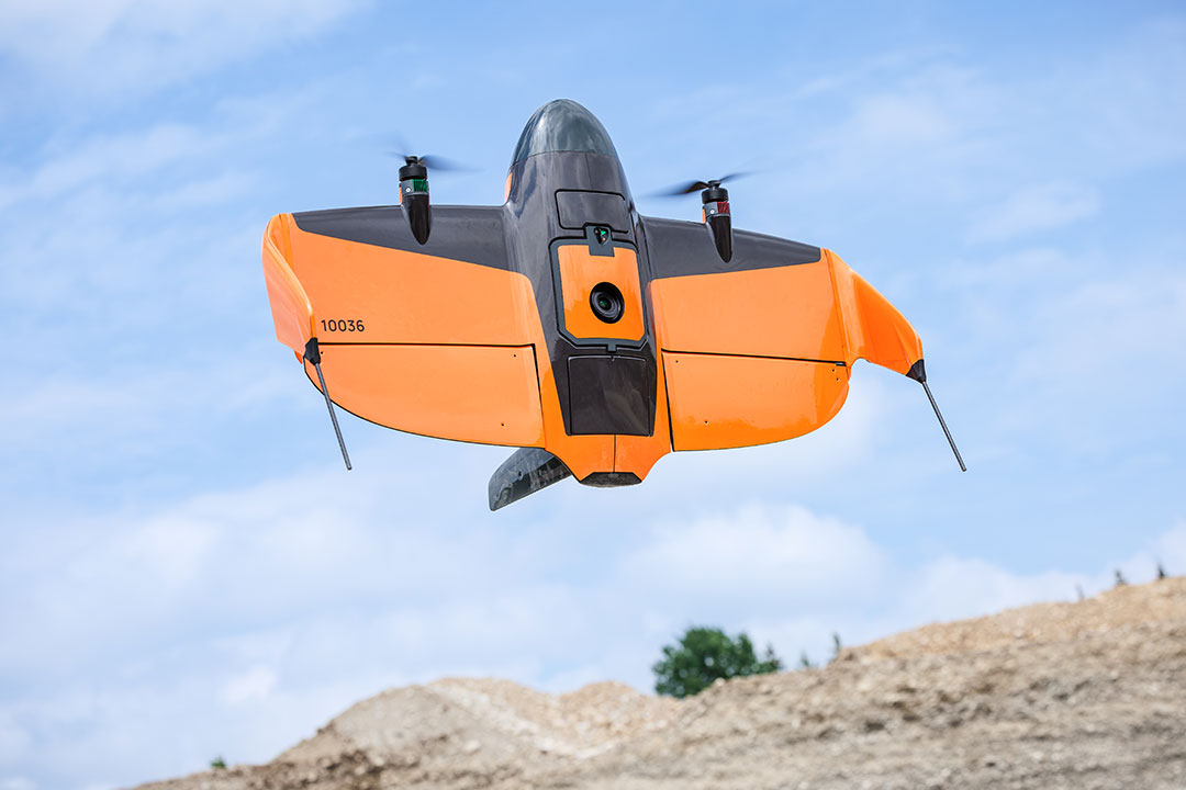
Revolutionize your surveys with WingtraOne Gen II and RedEdge-P, capturing detailed multispectral data effortlessly.

The WingtraOne Gen II revolutionizes aerial surveys with advanced LIDAR and multispectral imaging, enhancing precision and efficiency.
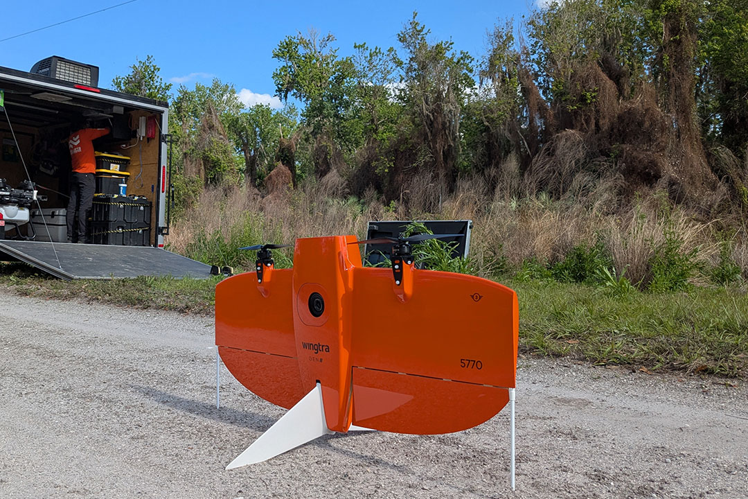
Drones survey Indian Hammock, FL, assessing lygodium control success, ensuring ecosystem balance and health restoration.
Explore the Blue sUAS 2.0, the latest approved drone list enhancing US government operations.

Revolutionizing agriculture in Georgia, drone services enhance crop monitoring, boost yields, and ensure sustainable farming.
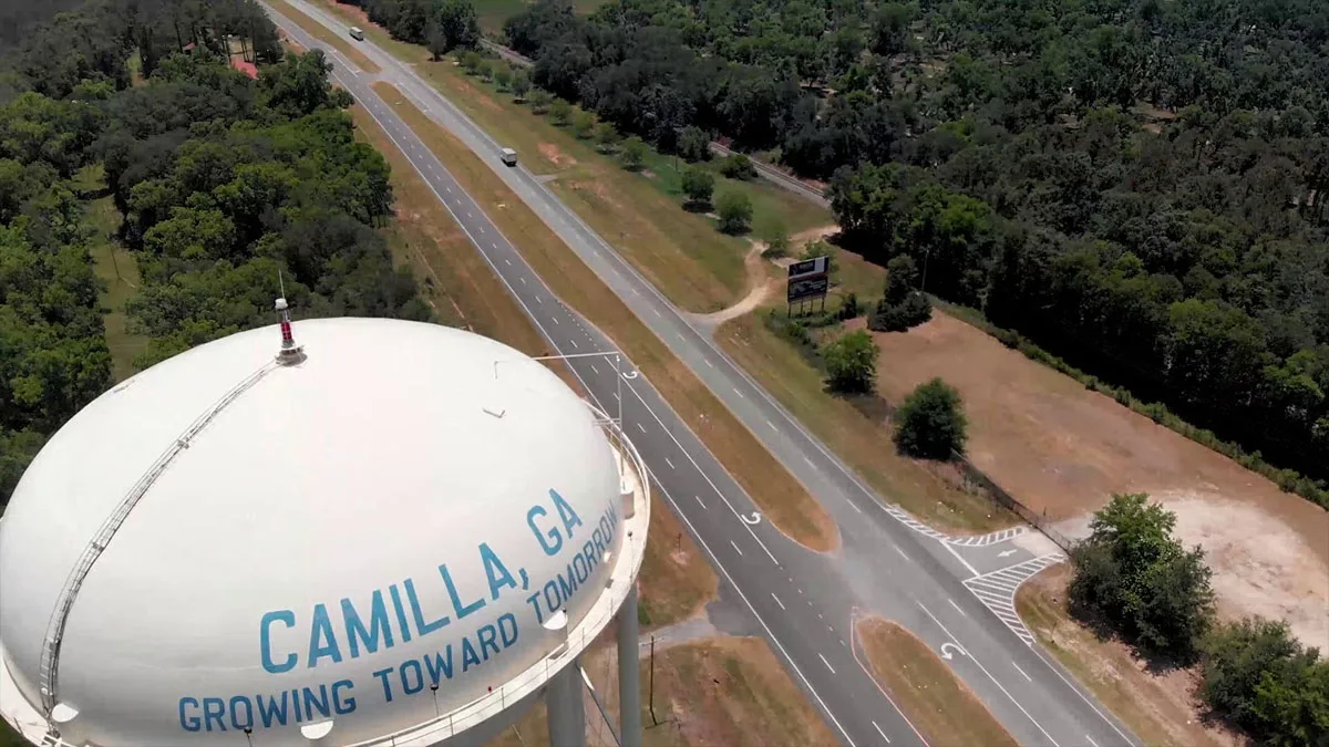
Discover Fair Lifts` innovative agricultural drone services boosting efficiency for Mitchell County farmers in Georgia.

“Experience unparalleled aerial perspectives with Daytona Beach`s premier drone services, elevating your projects skyward.”
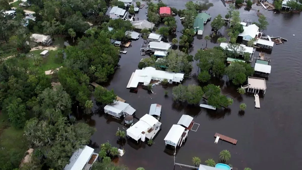
Drones revolutionize recovery in Perry, FL, post-Idalia, providing critical aerial damage assessments for efficient aid.