Wingtra and Trimble team up to revolutionize drone surveying, enhancing precision and efficiency in data collection workflows.
Wingtra and Trimble team up to revolutionize drone surveying, enhancing precision and efficiency in data collection workflows.
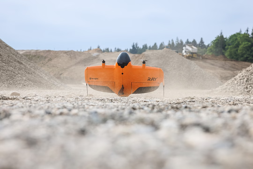
“Experience unparalleled precision and speed in aerial surveys with Wingtra RAY, setting new standards in data collection.”

Revolutionize your surveys with WingtraOne Gen II and RedEdge-P, capturing detailed multispectral data effortlessly.

“Discover key UAV terms with our Drone Terminology Glossary, simplifying the complex world of unmanned aerial vehicles.”

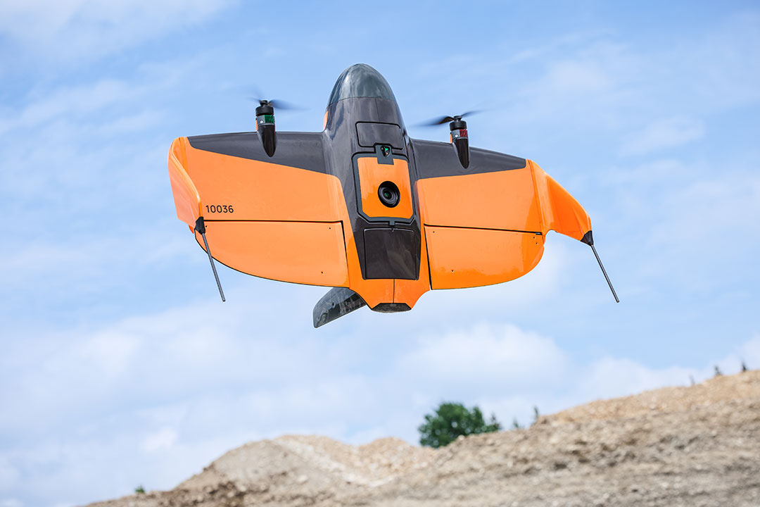
The WingtraOne Gen II revolutionizes aerial surveys with advanced LIDAR and multispectral imaging, enhancing precision and efficiency.
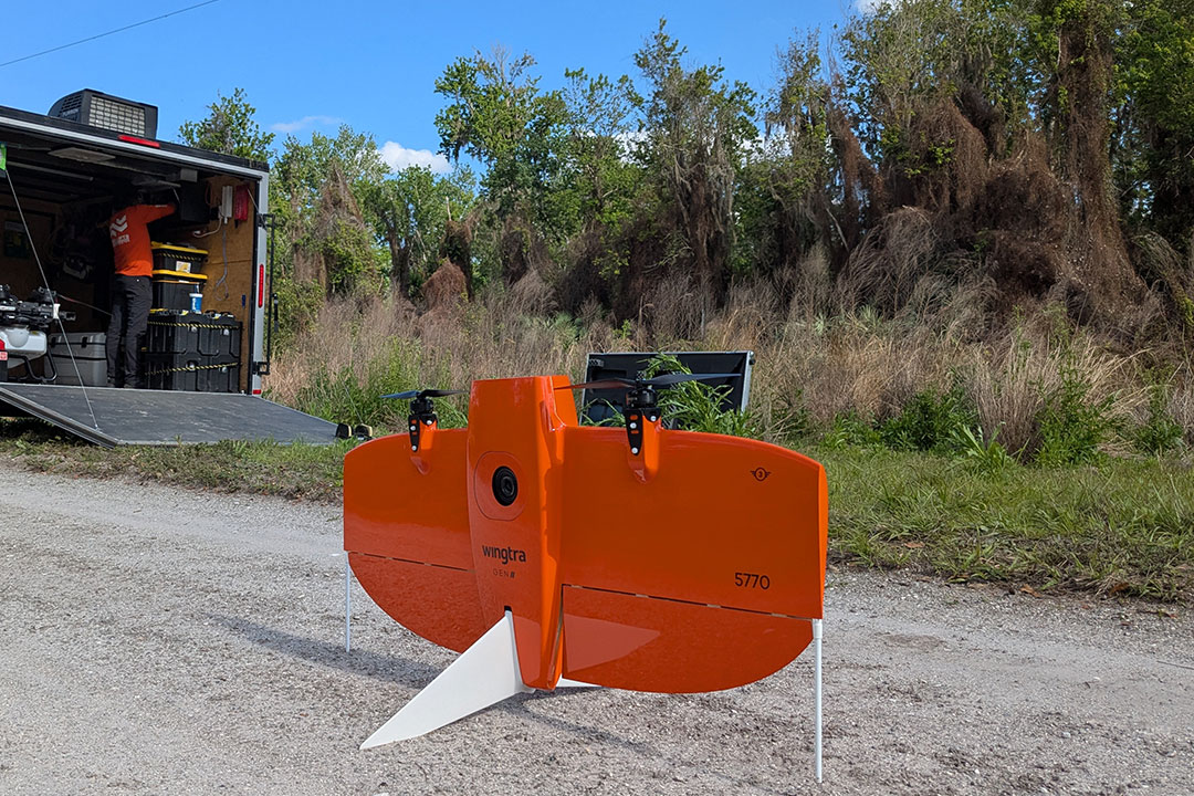
Drones survey Indian Hammock, FL, assessing lygodium control success, ensuring ecosystem balance and health restoration.