“Experience unparalleled precision and speed in aerial surveys with Wingtra RAY, setting new standards in data collection.”
“Experience unparalleled precision and speed in aerial surveys with Wingtra RAY, setting new standards in data collection.”

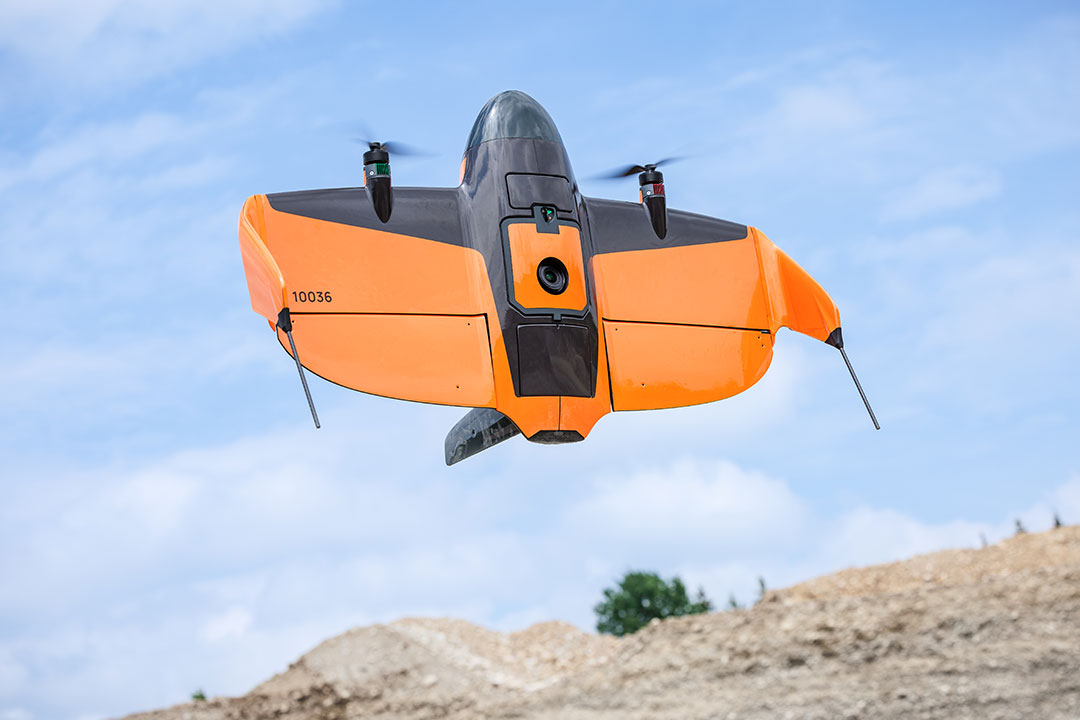
The WingtraOne Gen II revolutionizes aerial surveys with advanced LIDAR and multispectral imaging, enhancing precision and efficiency.

“Experience unparalleled aerial perspectives with Daytona Beach`s premier drone services, elevating your projects skyward.”

Stay informed on Hurricane Idalia`s path. Follow safety guidelines, secure your home, and ensure emergency supplies are ready.

Helicopter-assisted inspections enhance power line safety and efficiency, offering a bird`s-eye view for precise maintenance.

“Experience precise, expansive mapping with helicopter LiDAR surveys, offering unparalleled accuracy and efficiency.”