Discover top helicopters for 2025 aerial surveys, prioritizing efficiency, advanced tech, and unmatched reliability.

Using helicopters for aerial surveys is a popular and efficient way to collect data and information for a variety of industries and projects. The articles in this category provide readers with an in-depth look at the many advantages of using helicopters for aerial surveys, including their ability to cover large areas quickly and efficiently, and their ability to provide a high level of detail and accuracy in the collected data. The articles discuss the different types of sensors and equipment that are used in aerial surveys and how they are mounted on helicopters. They also explore the skills and qualifications required of helicopter pilots and surveyors to safely and effectively conduct aerial surveys. Readers can expect to gain a thorough understanding of the process involved in conducting aerial surveys using helicopters, as well as the benefits and limitations of this technique in various fields, from environmental monitoring and mapping to land surveying and infrastructure planning.
Discover top helicopters for 2025 aerial surveys, prioritizing efficiency, advanced tech, and unmatched reliability.
“Discover why helicopters outshine airplanes: agility, versatile landings, and unmatched maneuverability in tight spaces.”

Helicopters play a vital role in wildlife conservation, enabling rapid response and aerial surveys to protect ecosystems effectively.
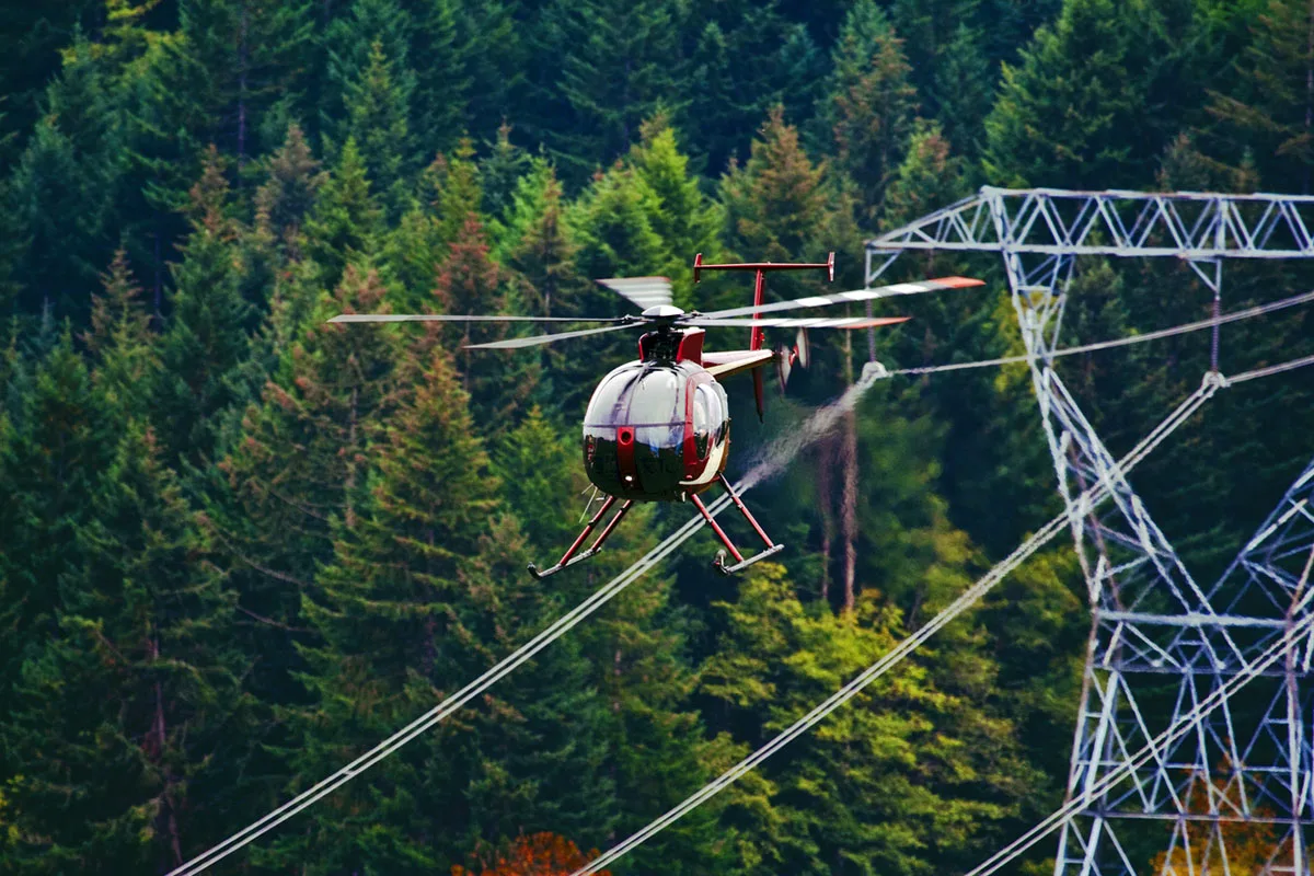
Helicopter-assisted inspections enhance power line safety and efficiency, offering a bird`s-eye view for precise maintenance.

“Helicopter pipeline surveys ensure safety and efficiency, offering a bird’s-eye view for regular, thorough inspections.”

Helicopters swiftly deliver aid, rescue stranded individuals, and assess damage, proving vital in natural disaster relief efforts.

Discover Fair Lifts` pioneering helicopter wildlife surveys, revolutionizing environmental research across North America.

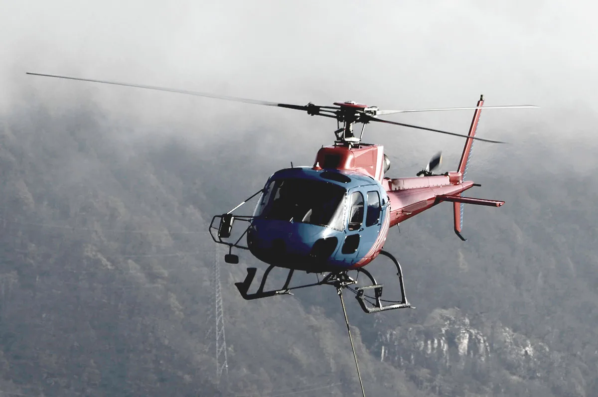
The MD Helicopters MD500 offers exceptional agility and power, delivering big performance in a compact, versatile design.

“Experience precise, expansive mapping with helicopter LiDAR surveys, offering unparalleled accuracy and efficiency.”

NASA`s Mars Ingenuity Helicopter made its first flight on another planet, paving the way for future aerial exploration.