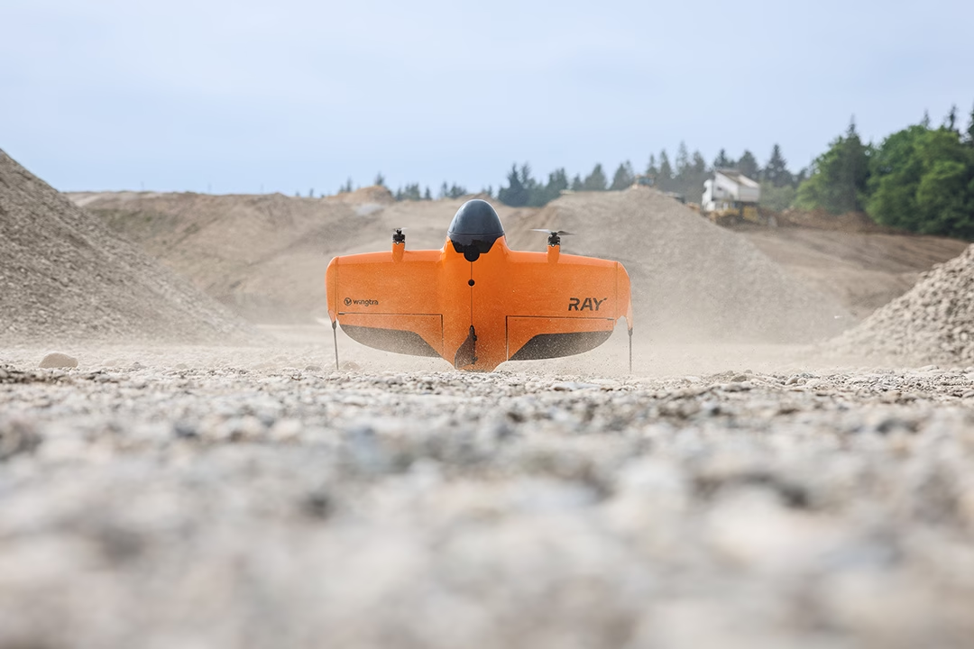
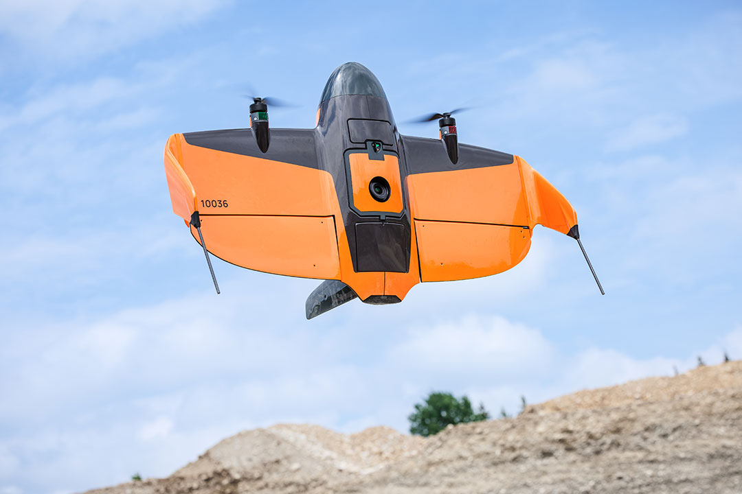
Wingtra and Trimble team up to revolutionize drone surveying, enhancing precision and efficiency in data collection workflows.
Showing all pages tagged with ppk
Wingtra RAY: Unmatched Speed and Accuracy for Aerial Surveys
“Experience unparalleled precision and speed in aerial surveys with Wingtra RAY, setting new standards in data collection.”

