Wingtra and Trimble team up to revolutionize drone surveying, enhancing precision and efficiency in data collection workflows.
Wingtra and Trimble team up to revolutionize drone surveying, enhancing precision and efficiency in data collection workflows.
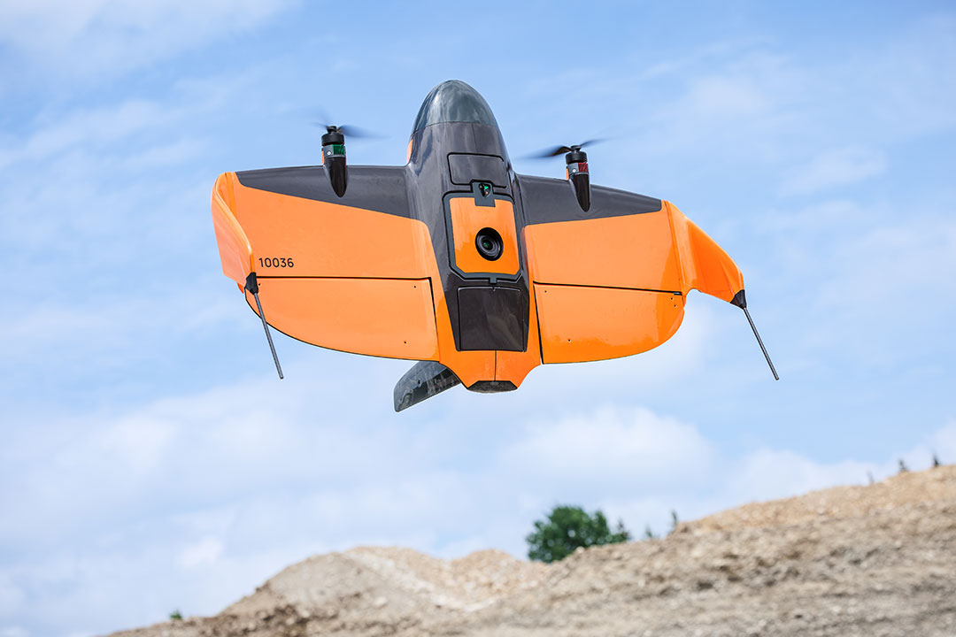
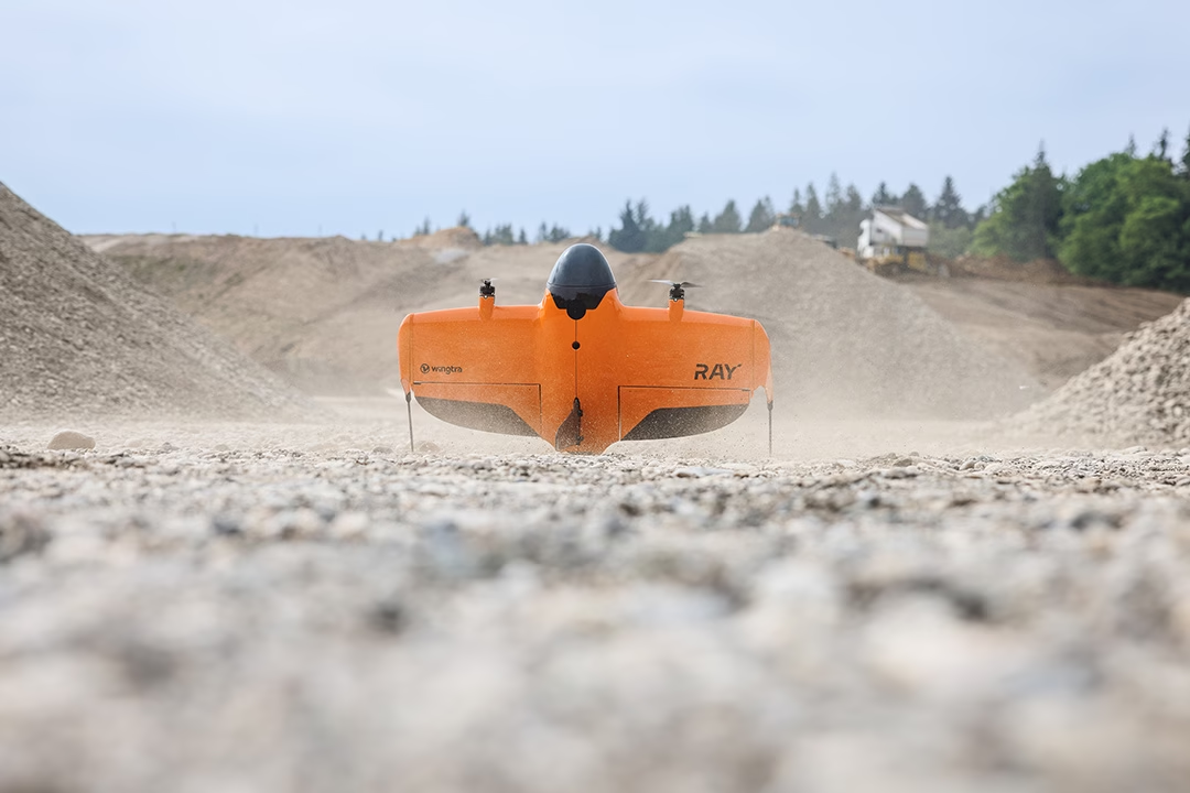
“Experience unparalleled precision and speed in aerial surveys with Wingtra RAY, setting new standards in data collection.”